

Map Pilot Pro
Category : BusinessVersion: 2.2.6a
Size:162.4 MBOS : Android 8.0+
Developer:Maps Made Easy
 Download
 Unlock the full potential of your photogrammetry projects with Map Pilot Pro, designed to enhance your data collection for superior results. Leveraging over 8 years of DJI flight app expertise, Map Pilot Pro optimizes your flight paths to ensure you capture the best possible aerial data for mapping. Whether you choose to process your data into final products using your preferred photogrammetry software or utilize our seamless Maps Made Easy online service, mapping has never been more accessible or efficient.
Map Pilot Pro integrates effortlessly with Maps Made Easy's FlightSync system, allowing for all your flight logs and mission planning to be synchronized. This feature is invaluable for debugging and troubleshooting, ensuring you can produce the highest quality maps. Map Pilot Pro serves as the perfect companion app for data collection, tailored specifically for the Maps Made Easy processing platform. You can access Maps Made Easy's processing services either through a pay-as-you-go point system or via a monthly subscription, making it flexible to meet your needs.
With Map Pilot Pro, you can collect top-notch aerial data and process unlimited jobs of up to 325 images (12 megapixels) for free through Maps Made Easy. Start by defining your area and selecting your desired level of detail, then let Map Pilot Pro guide you to success.
For comprehensive guidance, visit our full documentation at http://support.dronesmadeeasy.com. If Map Pilot Pro is not available for download from the Play Store, you can easily obtain the APK from here. Note that users of Mini 3 and Enterprise aircraft will also need to use the APK.
Key Features of Map Pilot Pro:
- Multi-Battery Management
- Manual Restart Point Selection
- FlightSync to Maps Made Easy
- Mission and Boundary Sync with Maps Made Easy
- Flight Zone Management
- Manual Restart Point Definition
- Automatic, Aperture/Shutter Priority, and Manual Exposure Modes
- Basemap Caching for Offline Operations
- Connectionless Camera Triggering
- Fully Offline Capable Terrain Awareness
- Multi-Pass Linear Mission Planning
- Custom Terrain Data Import
- 3D Grid Mission Planning
- Multi-Flight Coordination
- Movable Home Point to Track the Pilot
- Save/Edit Missions
- Re-fly Saved Missions
- View 3D logs on-device with Google Earth
- Import KML
- Export KML, log files, and Mission Plans
- Flight Log Review
- Built-in Simulator for Testing
- AirData and DroneLogbook Upload from Log File Manager
- JPG, RAW, and Video Recording Formats
- Fullest Possible Use of Each Battery
- Appropriate Camera Triggering
- Overlap Management
- Speed Management
- Automatic Takeoff and Landing
- Live Video Preview
- Signal Quality Warning
- Line of Sight Indicator
- Automatically Captures Elevation Reference Image (Ground Image)
- Natural Landing Assistance
- Live Map View
Supported Aircraft:
For a complete list of supported aircraft, visit our site. Notable models include:
- Mavic Pro
- Mavic Air
- Air 2 and Air 2S
- Air 3 (Export Only)
- Mini 2
- Mavic 2 (Pro, Zoom, and Enterprise)
- Mavic 3 (Export Only)
- Mini 3 and Mini 3 Pro
- Mini 4 Pro (Export Only)
- Phantom 4 Series
- Inspire Series
- Matrice Series
Supported External Cameras:
- DJI X3
- DJI X5
- DJI X4S
- DJI X5S
- DJI X7
- DJI XT2
- DJI H20T
- DJI H20
- P1
What's New in the Latest Version 2.2.6a
Last updated on Oct 24, 2024
- Fixed extra display of account sync message
- Added loading symbol to account sync
- Fixed disabled login buttons after error
- Added Help button for login failure

-
 Top-Rated Simulation Games for PC and Mobile
A total of 10 World Bus Driving Simulator Hamster Cake Factory School Cafeteria Simulator Ship Simulator 2022 City Bus Simulator - Eastwood SimCity Real City JCB Construction 3D Public Transport Simulator 2 Supermart 3D Store Simulator Train Simulator: subway, metro
-
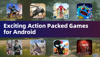 Exciting Action Packed Games for Android
A total of 10 Ninja Assassin Creed Samurai Gun Games 3D : Shooting Games Iron Hero: Superhero Fight 3D Battle Showdown: Gambit GUNSHIP BATTLE: Helicopter 3D The Walking Zombie 2: Shooter Agent Hunt Shooting Games 3D StickMan HOUSE 314: Survival Horror FPS Agent Shooting- FPS Shooter 3D


- Hollow Knight: Silksong's Price and Global Launch Timing Have Been Revealed 5 days ago
- IGG Championship 2025 Offers $400K Prize Pool 6 days ago
- TMNT: The Last Ronin Launch Details 1 weeks ago
- Clash of Clans lets you join NFL icon Travis Hunter\'s Clan if you can prove your worth 1 weeks ago
- Origin Adds Custom Trinket Production Feature 1 weeks ago
- Honor of Kings Anime Hits Crunchyroll 1 weeks ago
-

Finance / 2.0.4 / by Bank Asia Limited / 41.00M
Download -

Tools / 4.1 / by The Appschef / 14.00M
Download -

Art & Design / 10.0.2 / by Team Scarface / 26.0 MB
Download -

Auto & Vehicles / 3.34.0 / by CARFAX, Inc / 53.1 MB
Download -

Lifestyle / v1.3.9.d / by BanApp Entertainment / 21.18M
Download -

Video Players & Editors / v1.7.8 / by STORYMATRIX / 25.97M
Download


-
 All Monsters in Pressure And How to Survive Them – Roblox
-
 "Discover All Templar Locations in Assassin’s Creed Shadows - Spoiler Alert"
-
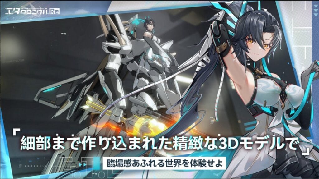 ETE Chronicle:Re JP Server Pre-Registration Opens With A Very Different Game
-
 "Lisa: The Painful & Joyful Surprise Android Release"
-
 Why Call of Duty: Black Ops 6 Looks Grainy & Blurry
-
 Unlocking the Secret Shop in R.E.P.O.: A Guide