

OsmAnd — Maps & GPS Offline
Category : Travel & LocalVersion: 4.8.6
Size:355.9 MBOS : Android 7.0+
Developer:OsmAnd
 Download
 Navigating hikes has become effortless with the right tools at your fingertips. Simply download the map, add your notes, and you're all set to explore! OsmAnd, an offline world map application built on OpenStreetMap (OSM), revolutionizes your journey by offering navigation tailored to your preferred routes and vehicle dimensions. With OsmAnd, you can plan routes considering inclines and record GPX tracks without needing an internet connection.
OsmAnd is proudly open source, ensuring that we do not collect user data. You have full control over what data the app accesses, giving you peace of mind as you venture out.
Main Features:
Map View
- Customize the places displayed on your map, including attractions, dining options, health services, and more.
- Search for destinations by address, name, coordinates, or category for a seamless experience.
- Choose from various map styles suited for different activities such as touring, nautical navigation, winter and ski, topographic mapping, desert exploration, off-road adventures, and more.
- Enhance your maps with shading relief and plug-in contour lines for detailed visualization.
- Overlay multiple map sources for a comprehensive view of your surroundings.
GPS Navigation
- Plot routes to your desired locations offline, ensuring you're never lost even in remote areas.
- Customize navigation profiles for different modes of transport including cars, motorcycles, bicycles, 4x4 vehicles, pedestrians, boats, public transport, and more.
- Modify your route to avoid specific roads or surfaces for a smoother journey.
- Access customizable widgets that provide real-time information on distance, speed, remaining travel time, and distance to the next turn.
Route Planning and Recording
- Plan detailed routes point by point using single or multiple navigation profiles.
- Record your journey using GPX tracks for future reference or sharing.
- Manage and display your own or imported GPX tracks on the map, and navigate through them effortlessly.
- View visual data about your route including descents, ascents, and distances.
- Share your GPX tracks on OpenStreetMap to contribute to the community.
Creation of Points with Different Functionality
- Add favorites for quick access to frequently visited locations.
- Use markers to highlight points of interest along your journey.
- Attach audio and video notes to your points for a richer experience.
OpenStreetMap
- Contribute to the OpenStreetMap community by making edits to the map.
- Benefit from frequent map updates, available as often as every hour.
Additional Features
- Use the built-in compass and radius ruler for precise navigation.
- Access the Mapillary interface for street-level imagery.
- Switch to a night theme for easier viewing in low-light conditions.
- Explore destinations with integrated Wikipedia information.
- Join a large global community of users, and access comprehensive documentation and support.
Paid Features:
Maps+ (In-App or Subscription)
- Enjoy Android Auto support for seamless integration with your vehicle's system.
- Download an unlimited number of maps for offline use.
- Access topo data including contour lines and terrain information.
- View nautical depths for safe water navigation.
- Access offline Wikipedia and Wikivoyage travel guides for comprehensive information on the go.
OsmAnd Pro (Subscription)
- Utilize OsmAnd Cloud for easy backup and restore of your data.
- Experience cross-platform compatibility for seamless use across devices.
- Benefit from hourly map updates to ensure you always have the latest information.
- Use the weather plugin to stay informed about weather conditions on your route.
- Monitor elevation changes with the elevation widget.
- Customize the appearance of your route line for a personalized touch.
- Support external sensors via ANT+ and Bluetooth for enhanced functionality.
- View online elevation profiles for detailed planning and analysis.

-
 Top-Rated Simulation Games for PC and Mobile
A total of 10 World Bus Driving Simulator Hamster Cake Factory School Cafeteria Simulator Ship Simulator 2022 City Bus Simulator - Eastwood SimCity Real City JCB Construction 3D Public Transport Simulator 2 Supermart 3D Store Simulator Train Simulator: subway, metro
-
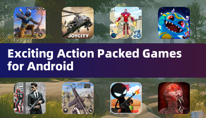 Exciting Action Packed Games for Android
A total of 10 Ninja Assassin Creed Samurai Gun Games 3D : Shooting Games Iron Hero: Superhero Fight 3D Battle Showdown: Gambit GUNSHIP BATTLE: Helicopter 3D The Walking Zombie 2: Shooter Agent Hunt Shooting Games 3D StickMan HOUSE 314: Survival Horror FPS Agent Shooting- FPS Shooter 3D


- Pokémon Go Raid Day: Master Sparring Partners 1 weeks ago
- Chrono Agents: Time-Travel Edutainment Adventure 2 weeks ago
- Mattel Unveils Top Toy Line in New Collaboration 2 weeks ago
- SpongeBob TD Codes Unveiled for March 2025 2 weeks ago
- Disney's Realm Breakers Soft-Launches in Select Regions 3 weeks ago
- Surprise Lords of the Fallen 2.5 Update Available Now, Just Hours Ahead of Sequel's Big Game Awards Showing 3 weeks ago
-

Tools / 4.1 / by The Appschef / 14.00M
Download -

Art & Design / 10.0.2 / by Team Scarface / 26.0 MB
Download -

Finance / 2.0.4 / by Bank Asia Limited / 41.00M
Download -

Auto & Vehicles / 3.34.0 / by CARFAX, Inc / 53.1 MB
Download -

Lifestyle / v1.3.9.d / by BanApp Entertainment / 21.18M
Download -

Tools / 1.4.2 / by Zeehik IT Zon / 4.72M
Download


-
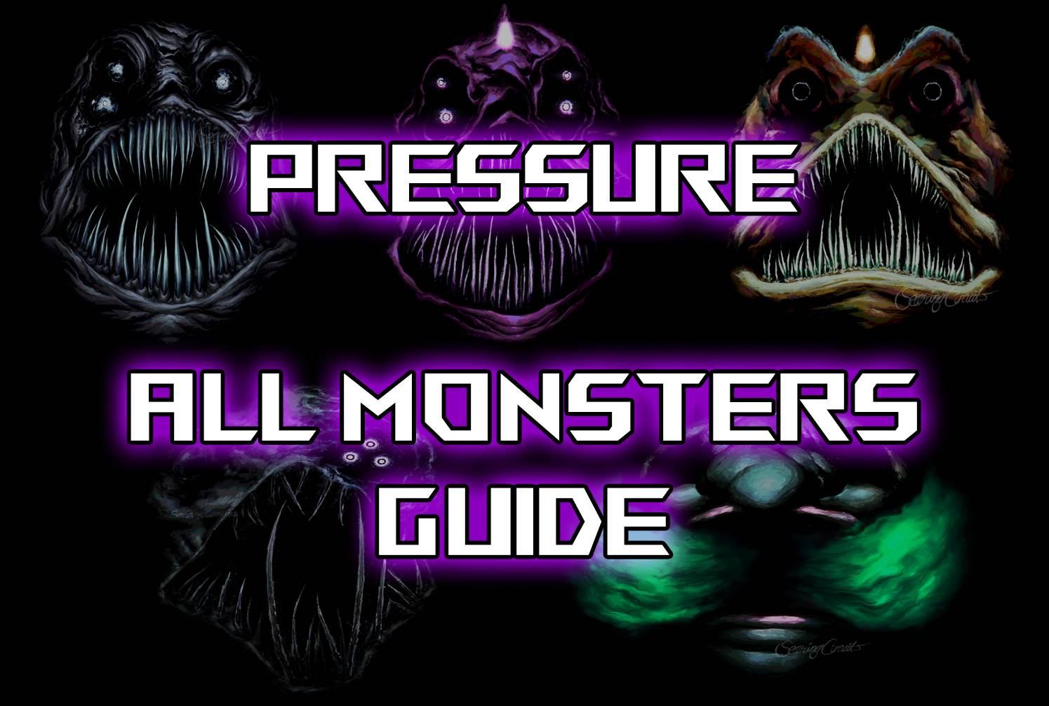 All Monsters in Pressure And How to Survive Them – Roblox
-
 "Discover All Templar Locations in Assassin’s Creed Shadows - Spoiler Alert"
-
 ETE Chronicle:Re JP Server Pre-Registration Opens With A Very Different Game
-
 "Lisa: The Painful & Joyful Surprise Android Release"
-
 Why Call of Duty: Black Ops 6 Looks Grainy & Blurry
-
 Unlocking the Secret Shop in R.E.P.O.: A Guide